Geography of India
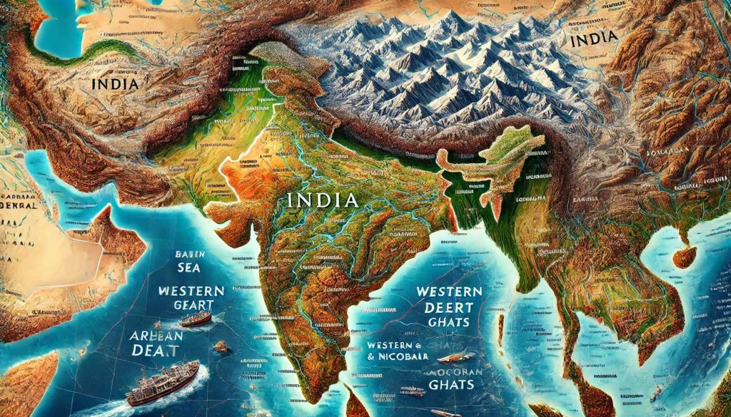
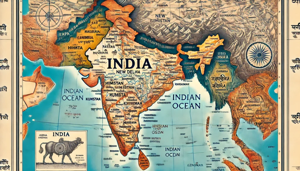
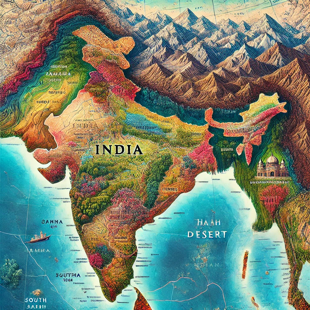
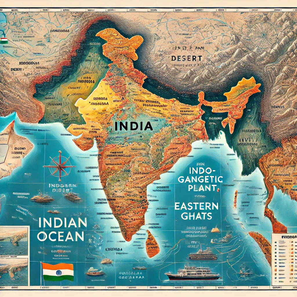
Geography of India is extremely diverse and unique. Its total area is approximately 3,287,263 square kilometres, making it the seventh-largest country in the world. Various geographical features such as mountains, plateaus, plains, deserts, beaches, and islands are found here. Let us understand the geography of India through its major aspects.
For a deeper understanding of how India is bounded by other countries and seas, you can also read our detailed article on The Border of India.
1. Location and Extent
1.1 Latitudinal and Longitudinal Location
Location: India is located in the Northern Hemisphere. It lies approximately between 8°4′ North latitude to 37°6′ North latitude and 68°7′ East longitude to 97°25′ East longitude.
1.2 Limits and Neighbouring Countries
Geographical Limits
- North: Himalaya Mountains
- West: Pakistan and the Arabian Sea
- East: Bangladesh, Myanmar, and the Bay of Bengal
- South: Indian Ocean
Neighbouring Countries
India shares its borders (land and sea) with the following neighbouring countries:
- Pakistan
- China
- Nepal
- Bhutan
- Bangladesh
- Myanmar
- Sri Lanka (via sea)
2. Geographical Area and Major Regions
The geographical area of India can be divided into five main regions:
- Himalayan Region
- Northern Plains
- Peninsular Plateau
- Thar Desert
- Coastal Areas and Islands
2.1 Himalayan Region
Location
Located in Northern India, this region is home to the mighty Himalayan mountain range.
Features
The Himalayan region includes some of the world’s highest peaks, such as:
- Mount Everest (in Nepal)
- Kanchenjunga (one of the highest peaks in the world)
Rivers
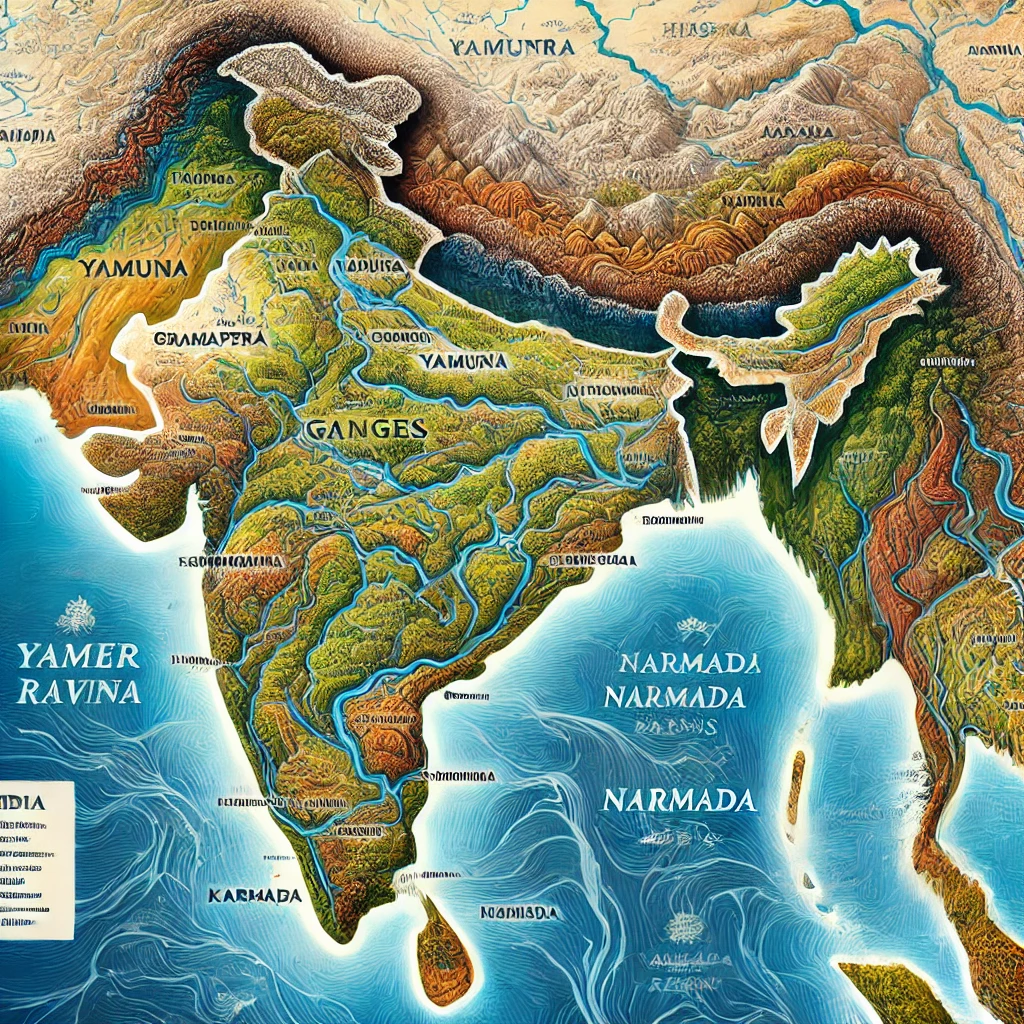
It is the source of many major rivers, including:
- Ganga
- Yamuna
- Brahmaputra
Importance
- Controls and influences the climate of North India
- Provides natural protection from cold winds and invasions
- Supports dense forests and rich biodiversity
2.2 Northern Plains
Location
This region is formed by the alluvial deposits of rivers like Ganga, Yamuna, and Brahmaputra. It extends across northern and eastern India.
Features
- Extremely fertile and flat land
- One of the most important agricultural regions of India
- The Ganga–Brahmaputra Delta is the largest delta in the world
Major Crops
- Paddy (rice)
- Wheat
- Sugarcane
- Pulses
2.3 Peninsular Plateau
Location
The Peninsular Plateau is located in central and southern India.
Special Features
- One of the oldest landmasses in the world
- Rich in ancient rocks and mineral resources
- Includes important ranges such as the Vindhya and Satpura mountains
Rivers
- West-flowing rivers: Narmada, Tapti
- East-flowing rivers: Godavari, Kaveri, Krishna
Mineral Resources
- Iron
- Bauxite
- Coal
- Gold
2.4 Thar Desert
Location
The Thar Desert is located in the western part of Rajasthan and Gujarat.
Features
- Dry and arid climate
- Sand dunes spread over large areas
- Cultivation of drought-resistant crops
Important Irrigation Project
The Indira Gandhi Canal has been developed to promote agriculture and support life in the Thar Desert region.
2.5 Coastal Areas and Islands
Coastal Areas
- Western Coast: Extends from Kutch to Kanyakumari
- Eastern Coast: Extends from the Sundarbans Delta to Kanyakumari
Islands
- Andaman and Nicobar Islands in the Bay of Bengal
- Lakshadweep in the Arabian Sea
3. Climate of India
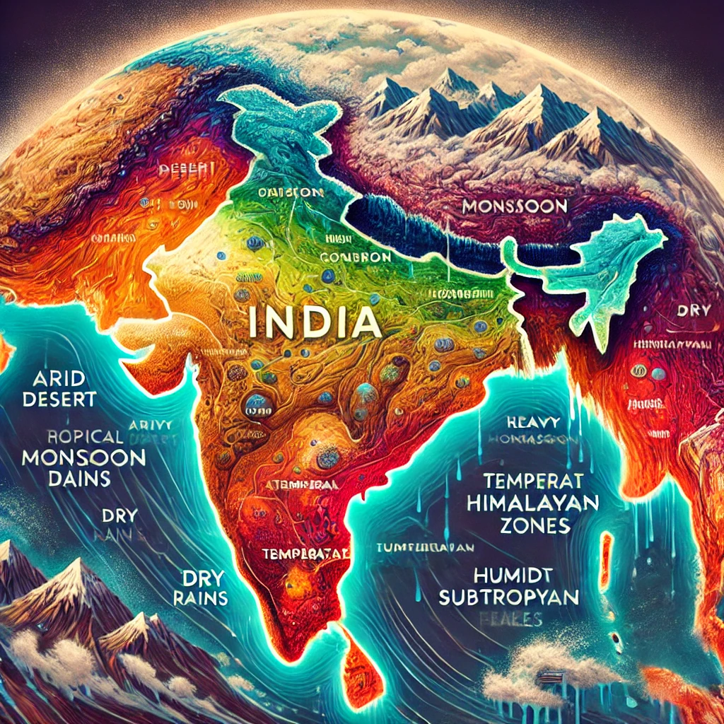
The climate of India is mainly of the tropical monsoon type, but due to its vast size and varied relief, different types of climates are found in different regions. Broadly, the climate of India can be divided into the following types:
- Tropical monsoon climate – affects most parts of India
- Temperate climate – found in mountainous areas, especially the Himalayas
- Dry climate – in the Thar Desert and adjoining regions
- Subtropical climate – in many parts of North India
- Equatorial climate – in some southern coastal regions and islands
4. Rivers of India
India is often called the “land of rivers”. The rivers of India are generally divided into two main categories:

Top Rated Amazon Product
Premium quality, reliable performance and excellent customer satisfaction. Perfect for everyday use.
Buy on Amazon4.1 Himalayan Rivers
These rivers originate from the Himalayan mountains and are perennial (flow throughout the year). Major Himalayan rivers are:
- Ganga
- Yamuna
- Brahmaputra
4.2 Peninsular Rivers
These rivers originate from the Peninsular Plateau and are mostly rain-fed. Major Peninsular rivers include:
- Narmada
- Godavari
- Kaveri
- Krishna
5. Forests and Vegetation
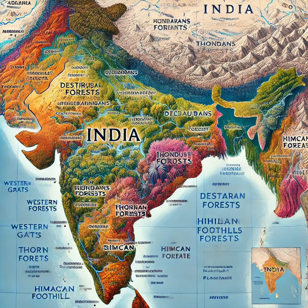
Forests cover about 21.71% of the total land area of India. Due to variations in climate and relief, different types of forests are found here.
5.1 Major Types of Forests
- Tropical rain forests – found in areas with heavy rainfall
- Dry deciduous forests – common in central and southern India
- Mountain forests – found in Himalayan and high-altitude regions
- Mangrove forests – especially in the Sundarbans region
6. Natural Resources of India
India is rich in minerals, water, forests, and agricultural resources, which play a vital role in its economy and development.
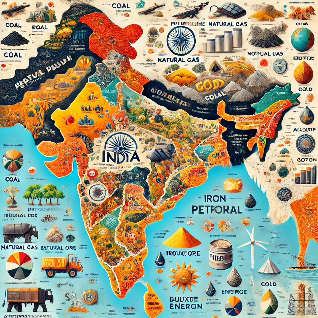
6.1 Mineral Resources
- Coal
- Iron
- Manganese
- Bauxite
- Gold
6.2 Energy Resources
- Hydroelectric power
- Solar energy
- Wind energy
7. Geographical Importance of India
India’s geographical location makes it central to Asian and world trade routes. It is located at the crossroads of major sea routes in the Indian Ocean, connecting the Middle East, Africa, and Southeast Asia.
Its diverse geographical landscape and climate make India suitable for:
- Agriculture – due to fertile plains and favourable climate
- Mining – because of rich mineral deposits
- Tourism – mountains, beaches, deserts, forests, and islands attract tourists from all over the world
- Trade and business – strategic location supports international commerce
Thus, the geography of India not only shapes its environment and resources, but also plays a key role in its economic, social, and cultural development.
Frequently Asked Questions (FAQ) – Geography of India
Q1. What is the total geographical area of India?
Answer: The total geographical area of India is approximately 3,287,263 square kilometres, which makes it the seventh-largest country in the world.
Q2. How is the geography of India divided?
Answer: The geography of India is broadly divided into five major regions: the Himalayan region, the Northern Plains, the Peninsular Plateau, the Thar Desert, and the coastal areas and islands.
Q3. Which are the main rivers of India?
Answer: The major Himalayan rivers are the Ganga, Yamuna, and Brahmaputra. The important Peninsular rivers include the Narmada, Godavari, Kaveri, and Krishna.
Q4. What kind of climate is found in India?
Answer: India mainly has a tropical monsoon climate, along with temperate climate in mountainous regions, dry climate in the Thar Desert, subtropical climate in many northern areas, and equatorial climate in some southern regions and islands.
Q5. Why is the geography of India important for its economy?
Answer: India’s geography is important because its strategic location supports major trade routes, while its diverse landforms and climate favour agriculture, mining, tourism, and other businesses, contributing significantly to economic growth.
Location and Boundary of India
India is a country with unique characteristics due to its geographical location and extent. It is located in South Asia, and because of its central position on the Asian landmass, it is often called the “Heart of Asia”.
To understand how India’s location connects with its physical features and diversity, you can also read our detailed article on Geography of India.
1. Location of India
The geographical location of India is defined mainly by its latitudinal and longitudinal extent, as well as by the passage of the Tropic of Cancer through the country.
1.1 Latitudinal Extension
- India is located between 8°4′ North latitude and 37°6′ North latitude.
- This makes India lie entirely in the Northern Hemisphere.
1.2 Longitudinal Extension
- India extends between 68°7′ East longitude and 97°25′ East longitude.
- Indian Standard Time (IST) is based on 82°30′ East longitude, which passes approximately through the middle of the country.
1.3 Tropic of Cancer
Path of the Tropic of Cancer in India
- The Tropic of Cancer (23°30′ North latitude) passes through the middle of India.
- It divides India into almost equal northern and southern parts.
- It passes through the following states:
- Gujarat
- Rajasthan
- Madhya Pradesh
- Chhattisgarh
- Jharkhand
- West Bengal
- Tripura
- Mizoram
1.4 Geographical Location in Asia
- India is located in the southern part of Asia.
- Its southern part extends deep into the Indian Ocean, forming a triangular peninsula.
- This location makes India an important centre for maritime trade between the countries of the East and the West.
2. Boundary of India
India’s boundaries are surrounded by various land areas, seas, and island groups on all sides. Its borders can be divided into three main types: land boundary, coastal (sea) boundary, and island boundary.
2.1 Land Boundary of India
- India’s land boundary is approximately 15,106 kilometres long.
- Many countries lie along India’s north, north-west, and north-east borders.
Neighbouring Countries and Their Land Borders
- Pakistan: About 3,323 km (borders Jammu and Kashmir, Punjab, Rajasthan, and Gujarat).
- China: About 3,488 km (borders Ladakh, Himachal Pradesh, Uttarakhand, Sikkim, and Arunachal Pradesh).
- Nepal: About 1,751 km (borders Uttarakhand, Uttar Pradesh, Bihar, West Bengal, and Sikkim).
- Bhutan: About 699 km (borders Sikkim, West Bengal, Arunachal Pradesh, and Assam).
- Bangladesh: About 4,096 km (borders West Bengal, Assam, Meghalaya, Tripura, and Mizoram).
- Myanmar: About 1,643 km (borders Arunachal Pradesh, Nagaland, Manipur, and Mizoram).
2.2 Coastal Boundary of India
- India has a maritime (sea) boundary of approximately 7,516.6 km.
- It is surrounded by the sea on three sides:
- West: Arabian Sea
- East: Bay of Bengal
- South: Indian Ocean
Coastal States and Islands
- Coastal States: Gujarat, Maharashtra, Goa, Karnataka, Kerala, Tamil Nadu, Andhra Pradesh, Odisha, and West Bengal.
- Islands along the Coasts:
- Andaman and Nicobar Islands in the Bay of Bengal
- Lakshadweep in the Arabian Sea
2.3 Island Boundary of India
India has two major island groups which form an important part of its boundary:
Major Island Groups
- Andaman and Nicobar Islands: About 572 islands, located in the Bay of Bengal.
- Lakshadweep Islands: About 36 islands, located in the Arabian Sea.
These island groups are very important from a strategic and security point of view, as well as for trade and tourism.
Best Seller Amazon Product
Top quality with reliable performance — perfect choice for everyday use and long durability.
Buy on Amazon3. Important Facts Related to India’s Border
3.1 Importance of Maritime Trade
- India’s maritime position makes it a natural centre of trade between the countries of the East and West.
- Sea routes through the Indian Ocean connect India with Europe, Africa, Southeast Asia, and the Middle East.
3.2 Border Security
- There are many military posts and security installations along India’s borders.
- Disputed areas in the Himalayan region with China, such as Aksai Chin and parts of Arunachal Pradesh, are sensitive.
- The Line of Control (LoC) in Jammu and Kashmir between India and Pakistan is also a highly sensitive border region.
3.3 International Relations
- India continuously makes efforts to maintain and improve bilateral relations with its neighbouring countries.
- India plays an important role in regional organizations such as SAARC (South Asian Association for Regional Cooperation) and BIMSTEC (Bay of Bengal Initiative for Multi-Sectoral Technical and Economic Cooperation).
4. Geographical Importance of India’s Location and Boundary
The geographical location and extent of India make it an important strategic and economic centre at the southern tip of Asia.
- Its central location in the Indian Ocean strengthens its geopolitical position.
- Diverse land and sea boundaries enhance India’s trade power and connectivity.
- The combination of land borders, long coastline, and island groups supports cultural diversity, defence, and economic growth.
Thus, the location and boundary of India not only define its physical presence on the world map but also strengthen the country’s diversity, business power, and geopolitical importance.
Frequently Asked Questions (FAQ) – Location and Boundary of India
Q1. In which part of the world is India located?
Answer: India is located in South Asia, in the Northern Hemisphere and the Eastern Hemisphere. It lies between 8°4′ N to 37°6′ N latitudes and 68°7′ E to 97°25′ E longitudes.
Q2. What is the significance of 82°30′ East longitude for India?
Answer: The 82°30′ East longitude is important because Indian Standard Time (IST) is based on it. This meridian passes approximately through the middle of India and provides a standard time for the whole country.
Q3. Through which states does the Tropic of Cancer pass in India?
Answer: The Tropic of Cancer (23°30′ N) passes through Gujarat, Rajasthan, Madhya Pradesh, Chhattisgarh, Jharkhand, West Bengal, Tripura, and Mizoram.
Q4. How many countries share their land border with India?
Answer: India shares its land border with six countries: Pakistan, China, Nepal, Bhutan, Bangladesh, and Myanmar.
Q5. What is the length of India’s land and coastal boundaries?
Answer: India’s land boundary is about 15,106 kilometres long, while its coastal boundary, including the mainland and islands, is about 7,516.6 kilometres long.
Q6. Why are the Andaman and Nicobar and Lakshadweep islands strategically important?
Answer: The Andaman and Nicobar Islands in the Bay of Bengal and the Lakshadweep Islands in the Arabian Sea are strategically important because they help India monitor key sea routes, strengthen its naval presence, and support maritime trade and security in the Indian Ocean region.
The Geographical Area of India
The geographical area of India is extremely diverse and is divided into different types of physical and natural regions. It includes mountains, plateaus, plains, deserts, coastal areas, and islands. This diversity plays a vital role in shaping India’s climate, economy, culture, and lifestyle.
For a broader understanding of India’s physical setting, you may also read our detailed guide on Geography of India.
1. Himalayan Region
Status and Extent
- Located in the northern part of India.
- Extends from Pakistan to Arunachal Pradesh.
- Approximately 2,500 km long with a width of up to 400 km.
Key Features
Himalayan Mountain Ranges
- Great Himalayas (Himadri): The highest and oldest range, including peaks like Mount Everest and Kanchenjunga.
- Middle Himalayas (Himachal): Known for valleys and hill stations such as Shimla, Mussoorie, and Nainital.
- Shivaliks: The outermost and lowest range of the Himalayas.
Source of Rivers
Major rivers such as the Ganga, Yamuna, Brahmaputra, and Indus originate from the Himalayan region.
Flora and Wildlife
Alpine and temperate vegetation is commonly found, along with diverse wildlife.
Importance
- Strong influence on India’s climate
- Major source of water and natural resources
- Important centre of tourism and biodiversity
2. Northern Plains
Status and Extent
- Extends from the foothills of the Himalayas to the Peninsular Plateau.
- Formed by alluvial deposits of rivers like Ganga, Yamuna, and Brahmaputra.
Key Features
Fertile Soil
- The alluvial soil is extremely fertile.
- This region is known as the “Granary Bowl of India”.
Network of Rivers
Rivers such as the Ganga, Brahmaputra, Sutlej and their tributaries make this region highly productive.
Delta Region
The Ganga–Brahmaputra Delta (Sundarbans) is the largest delta in the world.
Importance
- Main source of food grain production in India
- High population density and advanced irrigation systems
- Economically one of the most important regions
3. Peninsular Plateau
Status and Extent
- Located in the central and southern parts of India.
- Composed of old crystalline rocks.
- Divided into northern and southern parts by the Vindhya and Satpura ranges.
Key Features
Main Parts
- Malwa Plateau: Located in Madhya Pradesh and Rajasthan.
- Chota Nagpur Plateau: Spread across Jharkhand, Odisha, and West Bengal; rich in minerals.
- Deccan Plateau: Located in South India, with rivers like Narmada and Godavari.
Rivers
Major rivers include Narmada, Tapti, Godavari, Krishna, and Kaveri.
Importance
- Major centre of mineral production
- Supports industrial development
- Important for hydroelectric power generation
4. Thar Desert
Status and Extent
- Located in the western part of Rajasthan.
- Also extends into parts of Gujarat, Haryana, and Punjab.
Key Features
Sand Dunes
Extensive sand dunes, locally known as “Dhariyal”, are found here.
Climate
Extremely dry climate with annual rainfall of about 150 mm.
Flora and Fauna
Thorny vegetation and desert animals such as camels are common.
Irrigation Projects
The Indira Gandhi Canal has helped promote agriculture in this region.
Importance
- Unique desert culture
- Camel safaris and desert tourism
5. Coastal Plains
Status and Extent
- Located along the eastern and western coasts of India.
- The western coast lies along the Arabian Sea, and the eastern coast along the Bay of Bengal.
Key Features
Top Quality Amazon Product
Reliable performance and excellent durability — a great choice for everyday use.
Buy on AmazonWestern Coastal Plains
- Includes the Rann of Kutch, Konkan Coast, and Malabar Coast.
- Major ports such as Mumbai and Kochi are located here.
Eastern Coastal Plains
- Includes the Coromandel Coast and Northern Circars.
- Features important regions like the Sundarban Delta and Chilika Lake.
Importance
- Marine trade and major ports
- Fisheries and salt-based industries
6. Island Groups
Andaman and Nicobar Islands
- Located in the Bay of Bengal.
- Composed of coral and volcanic structures.
- Tourist attractions include the Cellular Jail.
Lakshadweep Islands
- Located in the Arabian Sea.
- Coral islands and an important centre for fisheries.
Importance
- Strategic and defence importance
- Tourism and marine resources
Importance of the Geographical Regions of India
- Major contribution to agricultural production
- Rich reserves of mineral and energy resources
- Promotion of tourism, trade, and cultural diversity
The diverse geographical regions of India together form the foundation of the country’s economic strength, cultural richness, and environmental balance.
Frequently Asked Questions (FAQ) – Geographical Area of India
Q1. What are the major geographical regions of India?
Answer: The major geographical regions of India are the Himalayan Region, Northern Plains, Peninsular Plateau, Thar Desert, Coastal Plains, and Island Groups.
Q2. Why is the Himalayan region important?
Answer: The Himalayan region is important because it influences India’s climate, acts as a source of major rivers, supports biodiversity, and promotes tourism.
Q3. Which region is called the Granary of India?
Answer: The Northern Plains are called the Granary of India due to their fertile alluvial soil and high agricultural productivity.
Q4. Which part of India is rich in mineral resources?
Answer: The Peninsular Plateau, especially the Chota Nagpur Plateau, is rich in mineral resources.
Q5. Why are India’s islands strategically important?
Answer: India’s island groups are strategically important for maritime security, trade routes, tourism, and fisheries.
Climate of India
The climate of India is extremely diverse due to the country’s large geographical area, varied topographical features, and the influence of surrounding oceans. India is primarily characterized by a tropical monsoon climate. However, significant variations in temperature, rainfall, seasons, and climatic conditions are observed across different regions.
To understand how climate is shaped by physical features, you may also read our article on The Geographical Area of India.
1. Factors Affecting the Climate of India
India’s climate is influenced by several geographical and environmental factors:
1.1 Latitudinal Position
- The Tropic of Cancer passes through the middle of India.
- The southern part lies in the tropical zone, while the northern part lies in the subtropical zone.
- Southern regions experience higher temperatures, while northern regions have colder winters.
1.2 Himalayan Mountains
- The Himalayas act as a natural barrier preventing cold winter winds from Central Asia.
- They protect northern India and significantly influence rainfall patterns.
1.3 Influence of the Sea
- Coastal regions of western and eastern India experience a moderate or equable climate.
- Interior regions have more extreme temperatures due to the absence of marine influence.
1.4 Monsoon Winds
- The monsoon is the most important component of India’s climate.
- India is influenced by both the South-West Monsoon and the North-East Monsoon.
1.5 Topography
- Mountains, plateaus, plains, and deserts create climatic diversity.
- For example, the Thar Desert has a dry climate, while the Himalayan region experiences cold conditions.
2. Seasons of India
The climate of India is divided into four main seasons:
2.1 Summer Season
Duration: March to June
Temperature
- Northern India: 30°C to 45°C
- Southern India: Comparatively less hot
Features
- Long and warm days
- Heat waves in the Thar Desert
- Hill stations become major tourist attractions

Premium Amazon Product
High quality and reliable performance with excellent durability — ideal choice for everyday use.
Buy on Amazon2.2 Monsoon Season
Duration: June to September
Cause
South-West Monsoon winds bring moisture from the Arabian Sea and the Bay of Bengal.
Features
- Heavy rainfall in the Western Ghats, North-Eastern states, and Himalayan regions
- Low rainfall in Rajasthan and Gujarat
Notable Facts
- Cherrapunji and Mawsynram (Meghalaya) are among the rainiest places in the world
2.3 Autumn (Post-Monsoon Season)
Duration: October to November
- Temperature becomes slightly cooler
- Clear skies due to withdrawal of the monsoon
- North-East Monsoon causes rainfall in Tamil Nadu and Andhra Pradesh
2.4 Winter Season
Duration: December to February
Temperature
- Northern India: 5°C to 15°C
- Southern India: Comparatively warm
Features
- Cold conditions in North India
- Snowfall in hilly regions
- Equable and pleasant climate in South India
3. Types of Climate in India
3.1 Tropical Humid Climate
Regions: Kerala, Western Ghats, Andaman and Nicobar Islands
- High temperatures and heavy rainfall
- Dense tropical rainforests
3.2 Arid Climate
Regions: Rajasthan, Gujarat, parts of Punjab
- Very low rainfall (100–200 mm)
- Thorny vegetation and sand dunes
3.3 Subtropical Monsoon Climate
Regions: Ganga–Brahmaputra Plains
- Hot summers and cold winters
- Rainfall mainly from monsoon winds
3.4 Mountain Climate
Regions: Himalayan and North-Eastern states
- Cold climate
- Snowfall and alpine vegetation
3.5 Coastal Climate
Regions: Western and Eastern Coastal Plains
- Humid climate
- Less variation in temperature throughout the year
4. Monsoon and the Agricultural Sector of India
- About 70% of Indian agriculture depends on monsoon rainfall.
- Kharif crops such as paddy and maize grow with the arrival of the South-West Monsoon.
- Rabi crops such as wheat and gram are influenced by winter rains and the North-East Monsoon.
5. Climate Change and Challenges in India
5.1 Effects of Climate Change
- Unseasonal rainfall and floods
- Droughts and extreme heat waves
- Melting of Himalayan glaciers
5.2 Major Problems
- Decline in agricultural productivity
- Water scarcity and impact on energy supply
5.3 Possible Solutions
- Adoption of climate-friendly agricultural practices
- Promotion of renewable energy sources such as solar and wind power
Conclusion
The climate of India deeply affects its biodiversity, agriculture, economy, and culture. The monsoon is the most significant aspect of India’s climate, influencing not only farming but the entire economic system. Addressing the challenges posed by climate change will be essential for India’s sustainable development in the future.
Frequently Asked Questions (FAQ) – Climate of India
Q1. What is the main characteristic of India’s climate?
Answer: The main characteristic of India’s climate is the tropical monsoon system, which causes seasonal rainfall and temperature variations.
Q2. Which season brings maximum rainfall in India?
Answer: The Monsoon Season (June to September) brings maximum rainfall to most parts of India.
Q3. Why is the Himalayan region colder than the plains?
Answer: The Himalayan region is colder due to its high altitude and frequent snowfall.
Q4. How does climate change affect India?
Answer: Climate change affects India through extreme weather events, irregular monsoons, floods, droughts, and water shortages.
Q5. Why is the monsoon important for Indian agriculture?
Answer: The monsoon is crucial because a large portion of Indian agriculture depends on rainfall for crop production.
Rivers of India
Rivers of India play an important role not only as a source of water but also in the development of civilization, culture, agriculture, and economic activities. From ancient times, Indian rivers have supported human settlements and shaped the country’s history.
Indian rivers are broadly divided into Himalayan rivers and Peninsular rivers. Along with these, coastal rivers and interstate rivers also hold great importance.
To understand how rivers are influenced by India’s physical structure, you may also read our article on The Geographical Area of India.
1. River Systems of India
1.1 Himalayan Rivers
- These rivers originate from the Himalayan Mountains.
- They are perennial in nature.
- Their water comes from melting snow and monsoon rainfall.
- They mainly form vast alluvial plains.
Ganga River System
- Source: Gangotri Glacier, Uttarakhand
- Length: About 2,525 km (longest river of India)
Important Tributaries
- Right Bank: Yamuna, Son
- Left Bank: Ghaghra, Kosi, Gandak
Key Features
- Makes the plains of North India extremely fertile
- Forms the Sundarbans Delta with the Brahmaputra
Brahmaputra River System
- Source: Mansarovar Lake, Tibet
- Known as the Brahmaputra in Assam and Arunachal Pradesh
- Forms a large delta
- Causes floods and soil erosion during the monsoon
Indus River System
- Source: Lake Manasarovar, Tibet
- Important Tributaries: Jhelum, Chenab, Ravi, Beas, Sutlej
- Flows mainly through Pakistan and falls into the Arabian Sea
- About 20% of the Indus basin lies in India
1.2 Peninsular Rivers
- Originate from the Peninsular Plateau.
- Most rivers are rain-fed and therefore seasonal.
- They flow through hard rocks, creating deep valleys and waterfalls.
Major Peninsular Rivers
Narmada River
- Source: Amarkantak, Madhya Pradesh
- One of the major west-flowing rivers
- Falls into the Arabian Sea
- Famous Waterfall: Dhuandhar
Tapti River
- Source: Satpura Range, Madhya Pradesh
- Flows parallel to the Narmada
- Falls into the Arabian Sea
Godavari River
- Source: Trimbakeshwar, Maharashtra
- Known as the “Dakshin Ganga”
- Length: 1,465 km
- Falls into the Bay of Bengal
Krishna River
- Source: Mahabaleshwar, Maharashtra
- Length: 1,400 km
- Famous Dam: Nagarjuna Sagar Dam
Cauvery River
- Source: Brahmagiri Hills, Karnataka
- Lifeline of Karnataka and Tamil Nadu
- Famous Place: Hogenakkal Falls
Mahanadi River
- Source: Chhattisgarh
- Length: 858 km
- Hirakud Dam is built on this river
1.3 Coastal Rivers
- These rivers flow in the coastal regions of India.
- West coast rivers are short and fast-flowing.
- East coast rivers are longer and form large deltas.
2. Economic and Cultural Importance of Indian Rivers
2.1 Contribution to Agriculture
- Main source of irrigation
- The Ganga–Brahmaputra plains are highly fertile
- Major crops: Rice, Wheat, Sugarcane
2.2 Hydroelectric Power Generation
- Major projects on Narmada, Sutlej, and Brahmaputra
- Famous Dams: Bhakra Nangal, Hirakud
2.3 Transport and Trade
- Rivers have supported transport since ancient times
- Inland Water Transport System on the Ganga River

Top Quality Amazon Product
Premium quality, reliable performance and excellent durability — perfect choice for everyday use.
Buy on Amazon2.4 Cultural and Religious Importance
- Ganga, Yamuna, and Saraswati are considered sacred
- Religious events like Kumbh Mela are held on river banks
3. Environmental Problems Related to Rivers
3.1 Pollution
- Industrial waste, sewage, and plastic pollution
- Rivers like Ganga and Yamuna are severely affected
3.2 Floods and Droughts
- Flooding during monsoon season
- Droughts due to insufficient rainfall
3.3 Encroachment on Rivers
- Illegal construction on river banks
- Changes in river flow due to climate change
4. Efforts to Save Rivers
4.1 Ganga Rejuvenation Plan (Namami Gange Programme)
Aims to make the Ganga River clean and pollution-free.
4.2 Measures to Tackle Climate Change
- Tree plantation
- Rainwater harvesting
4.3 Construction of Dams and Reservoirs
Helps in water management and flood control.
Conclusion
India’s rivers are not just sources of water; they are the country’s economic, cultural, and religious lifeline. Protecting rivers and ensuring their sustainable use is essential for India’s development, food security, and environmental balance.
Frequently Asked Questions (FAQ) – Rivers of India
Q1. How many main river systems are there in India?
Answer: There are two main river systems in India: Himalayan rivers and Peninsular rivers. Coastal rivers are also important.
Q2. Which river is called the Dakshin Ganga?
Answer: The Godavari River is known as the Dakshin Ganga.
Q3. Why are Peninsular rivers seasonal?
Answer: Peninsular rivers depend mainly on monsoon rainfall, so they have less water during dry seasons.
Q4. What is the cultural importance of rivers in India?
Answer: Rivers like the Ganga and Yamuna are sacred in Indian culture and are central to religious rituals and festivals.
Q5. What are the major steps taken to conserve Indian rivers?
Answer: Major steps include the Namami Gange Programme, pollution control, afforestation, rainwater harvesting, and sustainable water management.
Forest and Vegetation Regions of India
India’s forest and vegetation regions form the foundation of the country’s biodiversity, environmental balance, and economic resources. Due to the wide variation in climate, soil, and topography, India has an exceptional diversity of forests and vegetation types.
To understand how forests are linked with landforms and climate, you may also read: Climate of India and Geographical Area of India.
1. Forest Area in India
1.1 Forest Cover
- About 21.71% of India’s total geographical area is covered by forests.
- States with maximum forest area include Madhya Pradesh, Arunachal Pradesh, and Chhattisgarh.
Classification of Forests Based on Density
- Dense Forests: More than 70% tree cover
- Moderately Dense Forests: 40%–70% tree cover
- Open Forests: 10%–40% tree cover
1.2 Importance of Forests
Environmental Benefits
- Absorption of carbon dioxide
- Maintenance of biodiversity
- Soil conservation and prevention of erosion
Economic Benefits
- Supply of timber, paper, rubber, and medicinal plants
- Support to forest-based industries
Social and Cultural Importance
- Source of livelihood for tribal communities
- Associated with religious and cultural traditions
2. Types of Forests in India
Based on climate, soil, and topography, forests in India are classified into the following major types:
2.1 Tropical Rain Forests
Location: Western Ghats, Andaman and Nicobar Islands, Assam, and North-Eastern states
- High temperature and heavy rainfall (200–250 cm)
- Evergreen vegetation
- Major trees: Mahogany, Rosewood, Ebony
- Extremely rich biodiversity
Importance: Habitat for rare wildlife and medicinal plants
2.2 Tropical Deciduous Forests
Location: Madhya Pradesh, Uttar Pradesh, Chhattisgarh, Jharkhand
- Rainfall between 100–200 cm
- Wet and dry deciduous species
- Major trees: Sal, Teak, Shisham, Acacia
Importance: Main source of timber for agriculture and construction
2.3 Tropical Thorn Forests
Location: Rajasthan, Gujarat, Haryana, Punjab
- Rainfall between 50–100 cm
- Thorny shrubs and bushes
- Main trees: Acacia, Khejari, Khair
Importance: Soil conservation in arid and semi-arid regions
2.4 Montane Forests
Location: Himalayan region and high mountains of South India
- Vegetation varies with altitude
- Temperate and alpine vegetation
- Major trees: Cedar, Pine, Spruce
Importance: Environmental balance and promotion of tourism
2.5 Mangrove Forests
Location: Sundarbans (West Bengal), Andaman and Nicobar Islands
- Found in tidal and brackish water areas
- Major tree: Sundari
Importance: Coastal protection, prevention of erosion, and biodiversity conservation
3. Major Vegetation in India
3.1 Natural Vegetation
- Depends on climate and soil
- Ranges from evergreen forests to thorny vegetation

Top Quality Amazon Item
Reliable performance and excellent build quality — a great choice for everyday needs.
Buy on Amazon3.2 Agricultural Vegetation
- Major crops: Wheat, Rice, Sugarcane, Maize
- Production of fruits, vegetables, and spices
3.3 Medicinal Plants
- Tulsi, Neem, Amla, Ashwagandha
- Widely used in Ayurveda and traditional medicine
4. Need for Conservation of Forests and Vegetation
4.1 Reasons for Destruction of Forests
- Deforestation
- Urbanization and industrialization
- Forest fires and encroachment
4.2 Conservation Measures
- Afforestation and reforestation
- Tree plantation programmes
- Creation of reserved and protected forests
- Public awareness campaigns
4.3 Government Efforts
- National Forest Policy: Target of increasing forest cover to 33%
- Protection through biosphere reserves, national parks, and wildlife sanctuaries
5. Impact of Climate Change on Forests and Vegetation
- Global warming: Rising temperatures threaten plant species
- Reduced rainfall: Moisture stress in tropical forests
- Impact on wildlife: Loss of natural habitats
Conclusion
India’s forests and vegetation are not only essential for maintaining environmental balance, but also provide resources vital for human survival. Protecting forests and ensuring their sustainable use must be a national and collective priority for a balanced and secure future.
Natural Resources of India
Natural resources are resources obtained directly from nature that are essential for human survival and development. These resources play a crucial role in sustaining life on Earth. India is a resource-rich country with a wide variety of natural resources that support its economy, culture, and environment.
To better understand how these resources are shaped by physical features and climate, you may also read: Geographical Area of India and Climate of India.
1. Classification of Natural Resources
1.1 On the Basis of Source
Biotic Resources
- Obtained from living sources
- Examples: Plants, animals, wood, food items
Abiotic Resources
- Obtained from non-living sources
- Examples: Minerals, water, air, soil
1.2 On the Basis of Renewability
Renewable Resources
- Resources that can regenerate over time
- Examples: Solar energy, wind energy, water, forests
Non-Renewable Resources
- Resources that get exhausted after use
- Examples: Coal, petroleum, natural gas, minerals
1.3 On the Basis of Distribution
Ubiquitous Resources
- Found everywhere on Earth
- Examples: Air, sunlight, water
Localized Resources
- Found only in specific locations
- Examples: Minerals, petroleum
1.4 On the Basis of Usage
Raw Materials
- Used directly in industries
- Examples: Iron ore, bauxite
Processed Resources
- Obtained after processing raw materials
- Examples: Steel, petrol
2. Major Natural Resources of India
2.1 Water Resources
Sources of Water
- Rivers: Ganga, Yamuna, Godavari
- Lakes: Chilika Lake, Wular Lake
- Groundwater: Major source for irrigation and drinking
Importance
- Irrigation and agriculture
- Hydroelectric power generation
- Drinking water and industrial use
2.2 Land Resources
Total geographical area of India: About 32.87 lakh sq. km
Land Use Pattern
- Agriculture: ~54%
- Forests: ~21.71%
- Barren and unused land
Importance
- Agriculture and food production
- Housing and industrial development
- Vegetation and ecological balance
2.3 Forest Resources
- About 21.71% of India’s land area is covered by forests
- Types: Tropical, Deciduous, Montane, Mangrove
Uses
- Timber, rubber, medicinal plants
- Conservation of biodiversity
2.4 Mineral Resources
India is a major producer of minerals.
Major Minerals and Locations
- Iron Ore: Odisha, Jharkhand
- Coal: Jharkhand, Chhattisgarh
- Petroleum: Assam, Gujarat
- Bauxite: Odisha
Uses
- Energy production
- Industrial development
2.5 Energy Resources
Conventional Sources
- Coal, petroleum, natural gas
- Used in thermal power and transportation
Non-Conventional Sources
- Solar energy, wind energy, tidal energy
- Environment-friendly and sustainable
2.6 Biodiversity
- India ranks 7th in the world in biodiversity
- Source of medicinal plants
- Helps maintain ecological balance
3. Importance of Natural Resources
- Economic development: Supports agriculture, industry, and energy sectors
- Support of human life: Provides food, water, and energy
- Environmental balance: Maintains climate and ecosystems
- Scientific research: Helps in developing new medicines and technologies
4. Problems of Resource Exploitation
4.1 Deforestation
- Indiscriminate cutting of forests
4.2 Overexploitation of Minerals
- Uncontrolled mining and resource depletion
4.3 Water Crisis
- Water pollution and wastage

Premium Amazon Product
High quality, stylish design and reliable performance — perfect choice for daily use.
Buy on Amazon4.4 Environmental Imbalance
- Increase in greenhouse gases
5. Conservation of Natural Resources
5.1 Water Conservation
- Rainwater harvesting
- Efficient irrigation methods
5.2 Forest Conservation
- Prevention of deforestation
- Tree plantation and social forestry
5.3 Energy Conservation
- Use of solar and wind energy
- Energy-efficient appliances
5.4 Mineral Conservation
- Recycling of minerals
- Sustainable mining practices
6. Sustainable Use of Natural Resources
- Balanced use: Avoiding unnecessary exploitation
- Natural energy use: Promoting renewable energy sources
- Education and awareness: Informing people about conservation
Conclusion
Natural resources are an inseparable part of human life. Their conservation and sustainable use are essential not only for the present generation but also for future generations. It is our collective responsibility to use these resources wisely and maintain environmental balance for a sustainable future.
Geographical Importance of India
Geography defines the social, economic, cultural, and political role of a region based on its location, physical features, climate, natural resources, and strategic position. India’s geographical importance gives it a prominent and influential position on the global stage.
To better understand this topic, you may also explore related articles such as Geographical Area of India and Natural Resources of India.
1. Geographical Importance of India
1.1 Geographical Location
- India is located in the Northern Hemisphere, extending from 8°4′ N to 37°6′ N latitude and 68°7′ E to 97°25′ E longitude.
- The Tropic of Cancer passes through the middle of India, dividing it into tropical and subtropical regions.
- India is bordered by the Arabian Sea to the west and the Bay of Bengal to the east, giving it a peninsular or semi-island character.
- The Himalayas in the north and the Indian Ocean in the south provide natural protection and water routes.
1.2 Land Size
- India covers an area of about 32.87 lakh square kilometres.
- It is the seventh-largest country in the world.
- India has a land border of about 15,200 km and a sea coast of approximately 7,517 km.
1.3 Strategic Location
- India is located in the southern part of Asia and is often referred to as the “Heart of Asia”.
- It lies close to major trade routes connecting Europe, Africa, and Asia.
- Its proximity to the Strait of Malacca and access via the Suez Canal connects India to major global sea routes.
2. Aspects of the Geographical Importance of India
2.1 Effect of Climate
- India’s location provides it with a monsoon climate.
- The tropical setting makes the climate suitable for an agriculture-based economy.
2.2 Availability of Natural Resources
- India is rich in soil, minerals, and water resources.
- Himalayan rivers such as the Ganga, Brahmaputra, and Indus, along with peninsular rivers like the Godavari and Kaveri, support agriculture and hydroelectric power.
2.3 Cultural Diversity
- Geographical diversity has resulted in multiple languages, religions, and cultures.
- The Himalayas in the north, Dravidian culture in the south, and desert culture in the west show India’s cultural richness.
2.4 Border Security and Strategic Importance
- The Himalayas act as a natural defensive barrier in the north.
- India shares borders with Pakistan, China, and Myanmar, making its location geopolitically significant.
2.5 Trade and Transport
- Major ports such as Mumbai, Chennai, Kolkata, and Kochi promote international trade.
- India acts as a trading hub between Asian, African, and European markets.
2.6 Agricultural and Industrial Importance
- Favourable climate and fertile soil support agriculture.
- Major crops include rice, wheat, sugarcane, and cotton.
- Availability of minerals supports industrial growth.
3. Global Impact of India’s Geographical Location
3.1 Leadership in South Asia
- India plays a leadership role in South Asia.
- It influences neighbouring countries such as Nepal, Bhutan, Sri Lanka, and Bangladesh.
3.2 Importance in the Indo-Pacific Region
- India’s location allows it to play a key role in the Indo-Pacific region.
- It contributes to maritime trade and regional security.
3.3 Environmental Contribution
- The Himalayas are the source of major rivers of Asia.
- India’s forests and biodiversity help maintain global climate balance.
4. Challenges of India’s Geographical Importance
4.1 Border Disputes
- Border disputes with Pakistan and China.
- Infiltration and unrest in North-East India.
4.2 Natural Disasters
- Landslides and glacier melting in the Himalayas
- Cyclones and floods in coastal areas
4.3 Environmental Imbalance
- Deforestation and pollution
- Impact of climate change
5. Measures to Enhance India’s Geographical Importance
5.1 Border Security
- Use of advanced technology and surveillance systems
5.2 Sustainable Use of Resources
- Judicious use of water, land, and mineral resources
5.3 Development of Trade and Transport
- Expansion and modernization of ports
- Improvement of transport networks
- Promotion of trade agreements with neighbouring countries
5.4 Environmental Protection
- Forest conservation and promotion of green energy
- Disaster preparedness and climate resilience
Conclusion
India’s geographical importance makes it economically strong, strategically significant, and culturally rich. Its unique location, diverse landforms, and abundant resources give India an influential role at both regional and global levels. Proper management of resources and sustainable development will further strengthen India’s position on the world stage.
Conclusion
India’s geographical importance lies in its unique combination of strategic location, vast size, diverse landforms, rich natural resources, and cultural variety. Situated at the crossroads of major sea and land routes between Asia, Europe, and Africa, India acts as a key hub for trade, diplomacy, and security in the Indo-Pacific and South Asian region. Its mountains, rivers, plains, plateaus, and long coastline not only support agriculture, industry, and commerce but also nurture an extraordinary cultural and ecological heritage. By strengthening border security, promoting sustainable use of resources, developing trade and transport, and protecting the environment, India can further enhance its global influence and geographical significance in the future.
Premium Amazon Product
High quality, reliable performance and excellent durability — a great choice for daily use.
Buy on AmazonReferences
- NCERT, India – Physical Environment, Geography Textbook.
- NCERT, Contemporary India, Geography Textbook.
- Majid Husain, Geography of India, McGraw Hill Education.
- Khullar, D.R., India: A Comprehensive Geography, Kalyani Publishers.
- Ministry of Home Affairs, Government of India – Official Boundary and Geographical Data.
- Survey of India – Maps and Geographical Information.
- Indian Meteorological Department (IMD) – Climate and Monsoon Data.

